Text: Stephanie Wong
We shared how the coastline has changed over the years and what the impact of its development is.
But it is difficult to imagine the rapid changes to the Hong Kong Island Coastline through text only. To feel the changes, you have to walk along the Hong Kong Island Coastal Trail (HKICT) and compare what you see to historical photos.
So, walk with us as we revisit some locations along the coastline. Through images showing the coastline in the 19th and 20th century that capture the then-and-now, try to visualize yourself standing at these locations years ago, and imagine what else you might see, hear or even smell.
Let’s start by going to Western Harbour Walk, the first of eight sections of the HKICT, but first, a small detour inland.
Location 1
Past: Hung Shing Temple 洪聖古廟 (1842)
Present: Hong Kong Convention and Exhibition Centre (HKCEC)
Hung Shing Temple was originally located next to the harbour, facing the sea. After various reclamation projects, the coastline of Wan Chai was extended out to HKCEC. The Temple was rebuilt in 1860 and is now surrounded by residential and commercial buildings along Queen’s Road East. And needless to say, it no longer enjoys a harbour view. But, if you walk from this temple out to Bauhinia Square by HKCEC (approximately 1.2km walking distance), you will experience just how much land has been reclaimed in Wanchai.
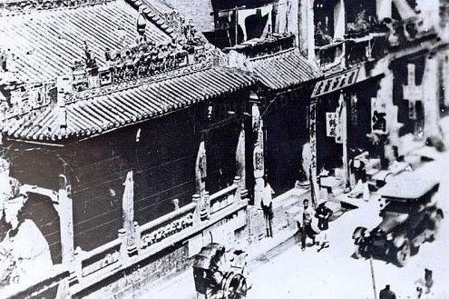
Photo Credit: 西環的黃金歲月
Hung Shing Temple in 2021.
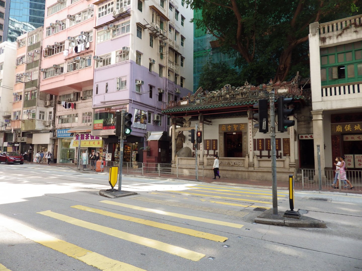
Photo Credit: Stephanie Wong
Hong Kong Convention and Exhibition Centre (Left) and Wan Chai Pier on the reclaimed land (Right) in 2021.
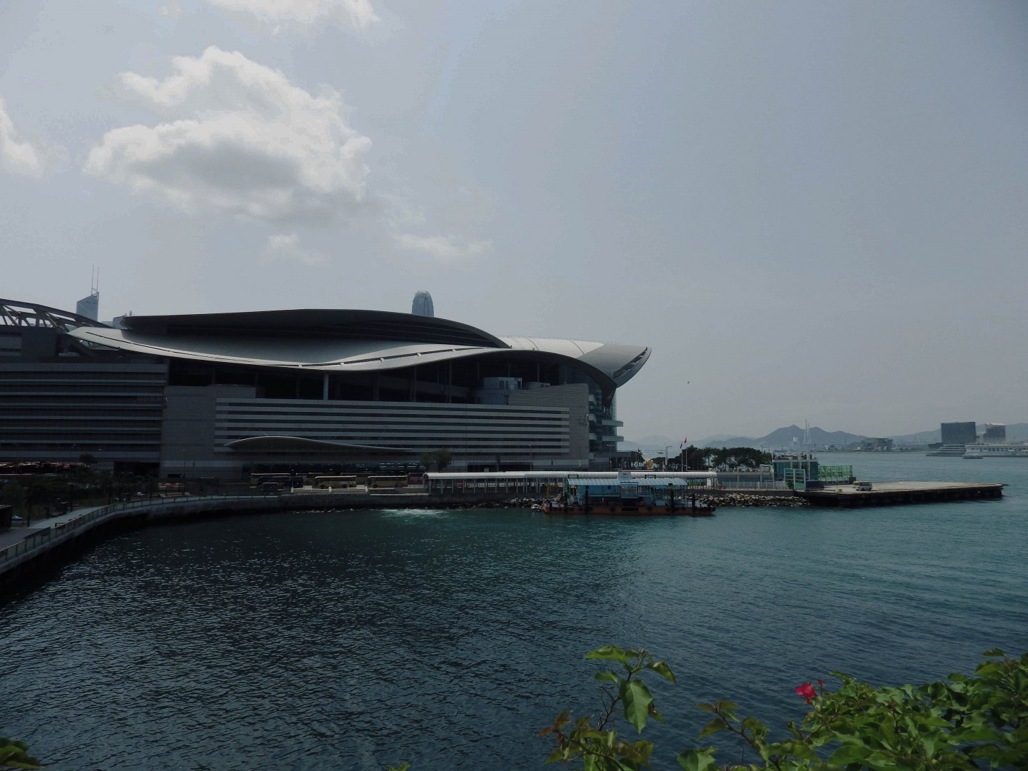
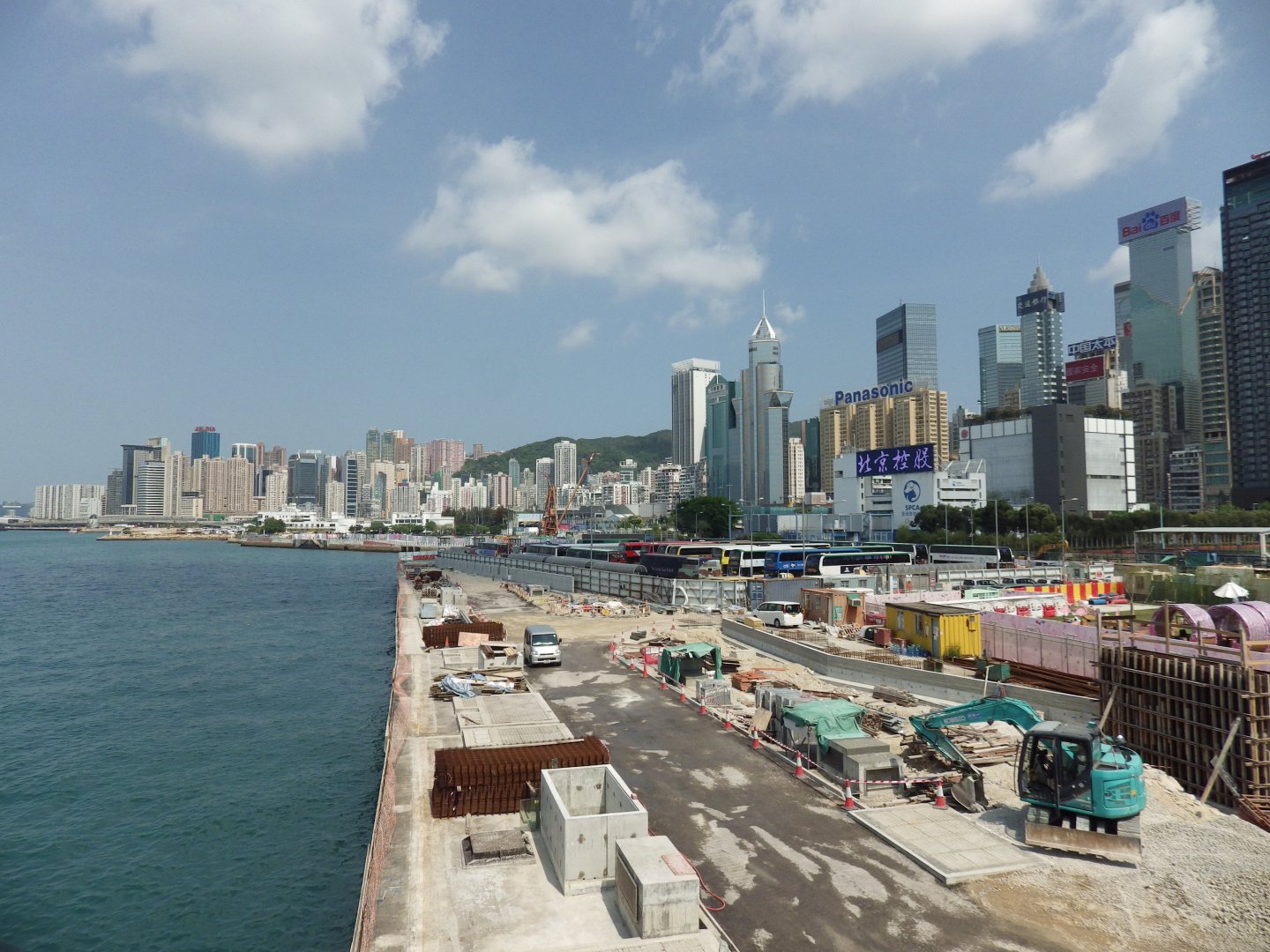
Photo Credit: Stephanie Wong
Continuing on westwards to Central and Western District we will reach – location 2.
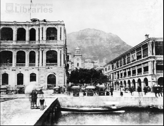
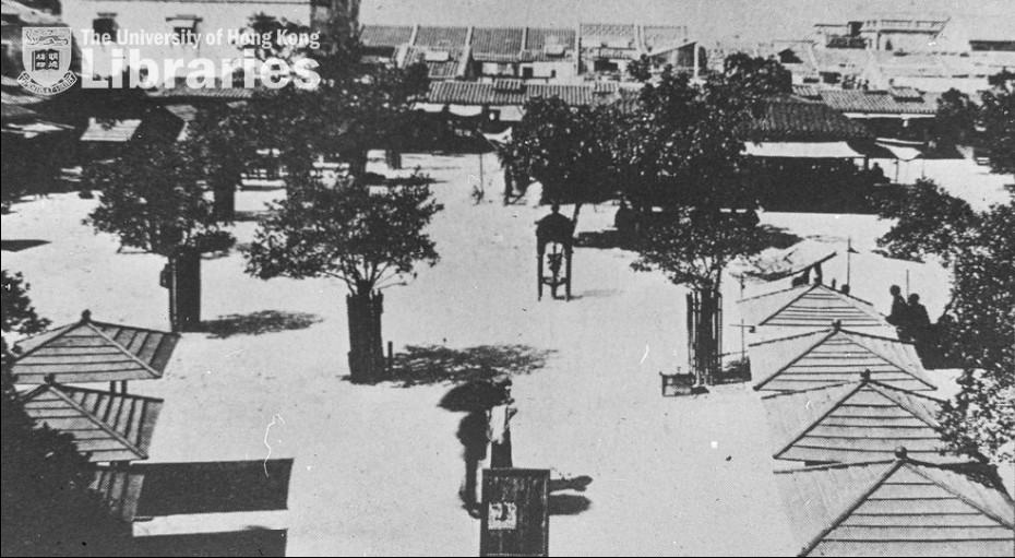
Past: Pedder Street
Present: Central Harbourfront – Star Ferry Pier
We mentioned in a previous article that back in 1880, the star ferry ride started from Pedder Street. Today we cannot see the ferry anymore from Pedder Street, and instead there are numerous trams and vehicles passing by every day.
These photos capture what the view of Pedder Street towards the mountains looked like from the Praya in the 1880s with the Pedder Street Clock Tower and Victoria Harbour in the background. The Pedder Street Clock Tower was demolished in 1913, but parts of it were used to build the Clock Tower in Tsim Sha Tsui.
The University of Hong Kong Libraries 香港大學圖書館, Hong Kong Image Database
(https://digitalrepository.lib.hku.hk/hkimage/)
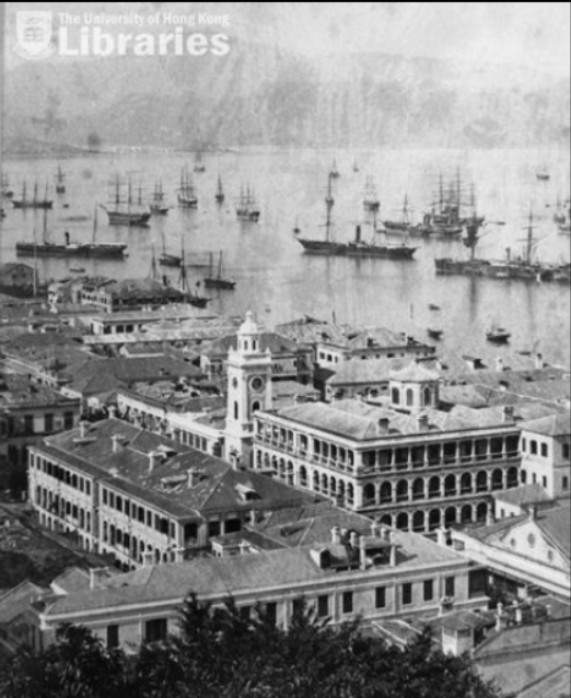
Below is the graphic in “City in Time” presented by the Tourism Commission and created by the City University of Hong Kong. It shows the view from Pedder Street towards the harbour in 1930.
Photo Credit: “City in Time”
These days, below is the view of Pedder Street looking inland to Queen’s Road Central and outwards towards the sea from Connaught Road Central in 2021. Unsurprisingly, from the ground level, you no longer have a good view of the mountain or the sea!
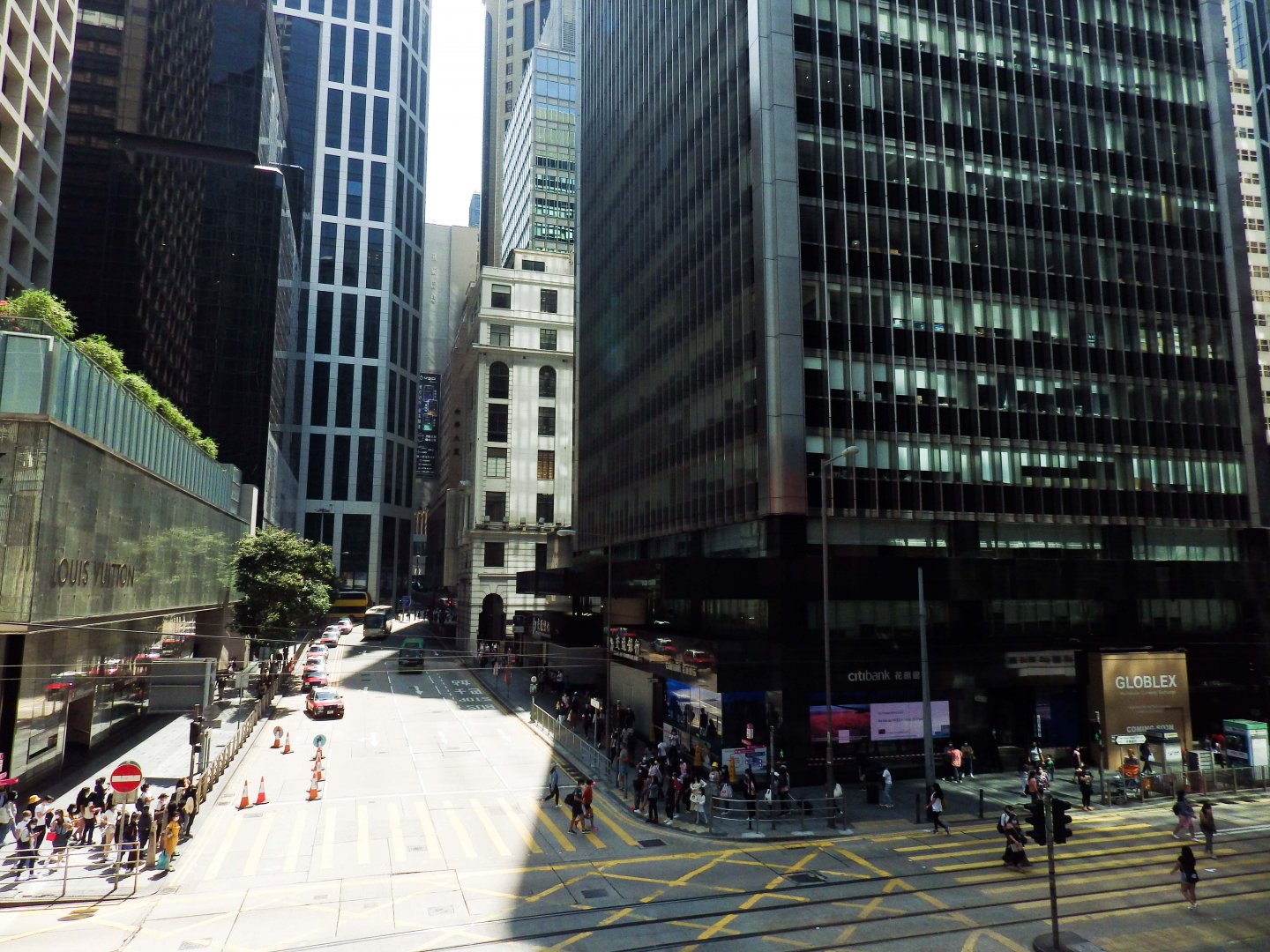
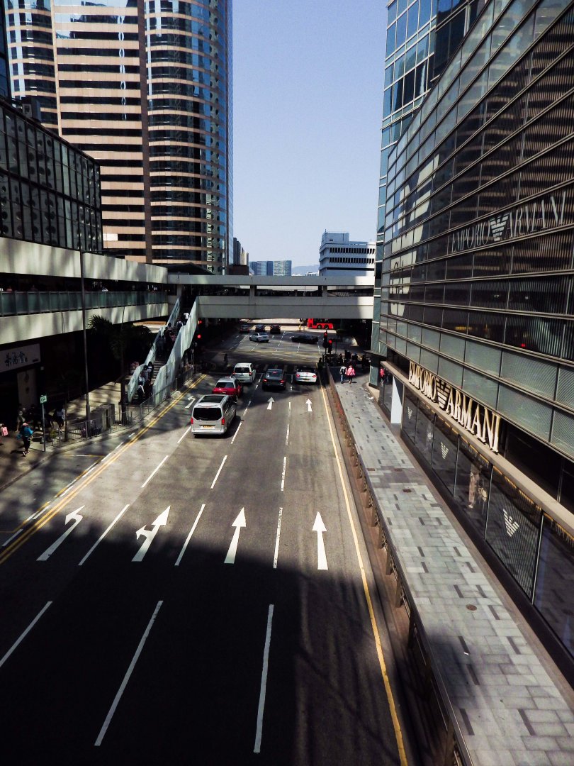
Photo Credit: Stephanie Wong
The extended coastline has shortened the time it takes for the Star Ferry to reach Kowloon side, and the Central Harbourfront has become a popular place for busking, exercising, fishing, and socialising.
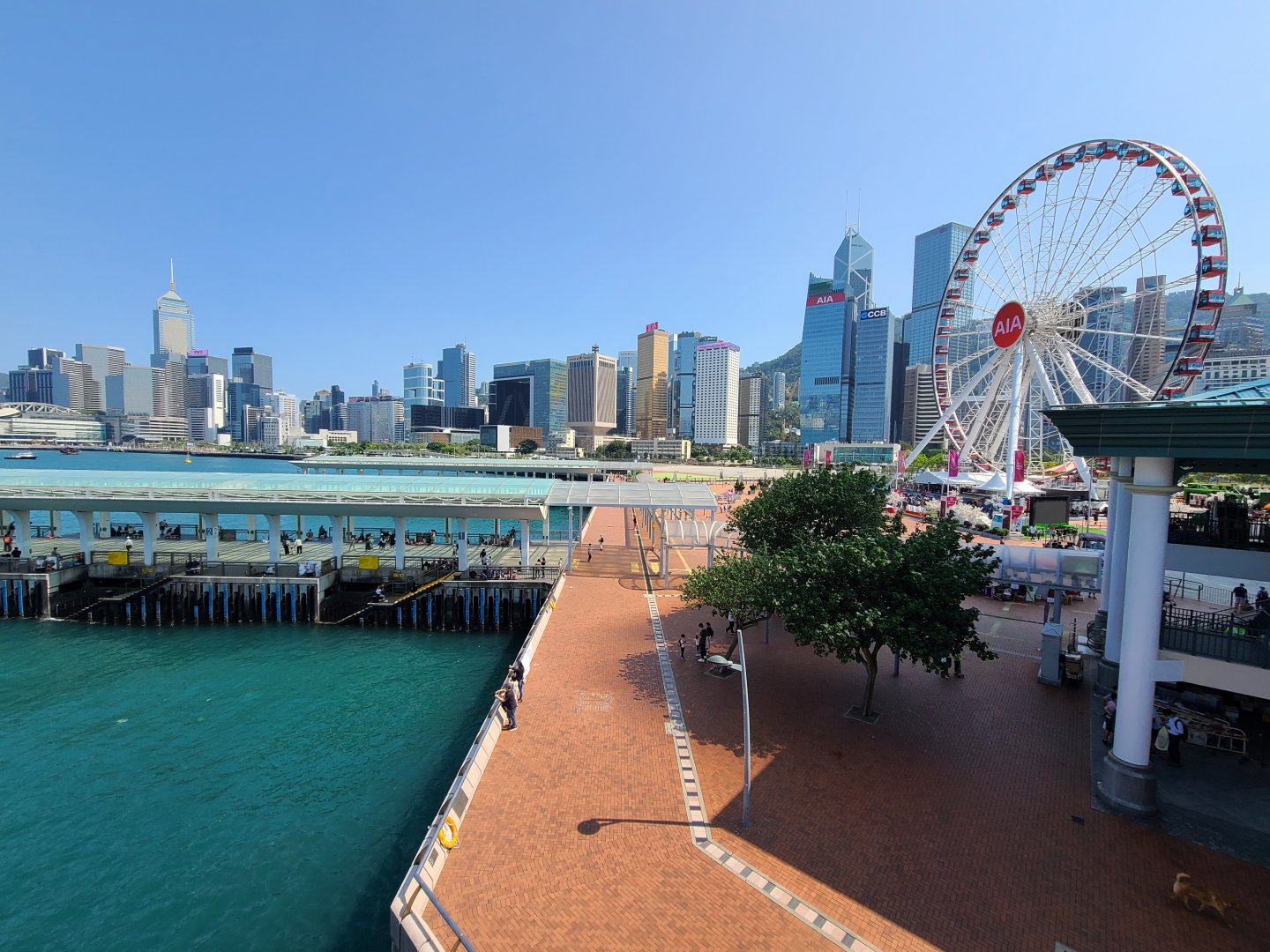
Photo Credit: Stephanie Wong
Location 3
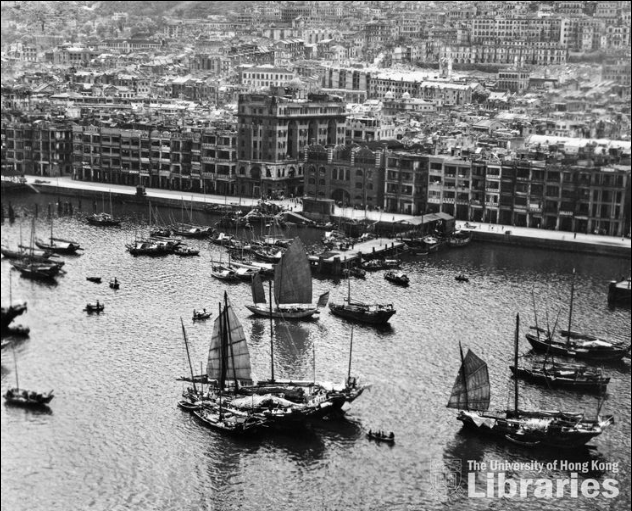
Past: Possession Street, Western Market
Present: HK Macau Ferry Terminal
Continuing westwards towards Sheung Wan, in 1906, the coastline here was at Connaught Road Praya.
The University of Hong Kong Libraries 香港大學圖書館, Hong Kong Image Database
(https://digitalrepository.lib.hku.hk/hkimage/)
From this introduction board showing a historical photo of Sheung Wan, you can see the coastline of Sheung Wan, which was next to the Western Market.
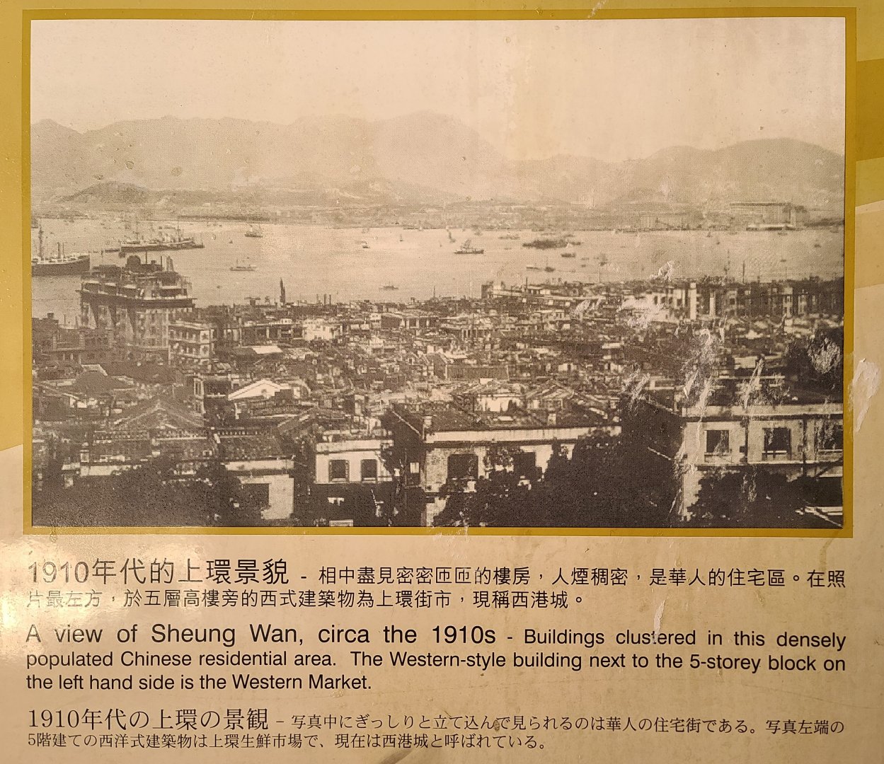
Photo Credit: Stephanie Wong
Possession Street was the road built after a navy official Edward Belcher landed in Hong Kong in 1841. It stretched from the coastline to the elevated plain that it has now become. The below photo shows Possession Point in the late 19th century.
The University of Hong Kong Libraries 香港大學圖書館, Hong Kong Image Database
(https://digitalrepository.lib.hku.hk/hkimage/)
The coastline next to Western Market has now become Connaught Road Central which connects the Central and Western District.
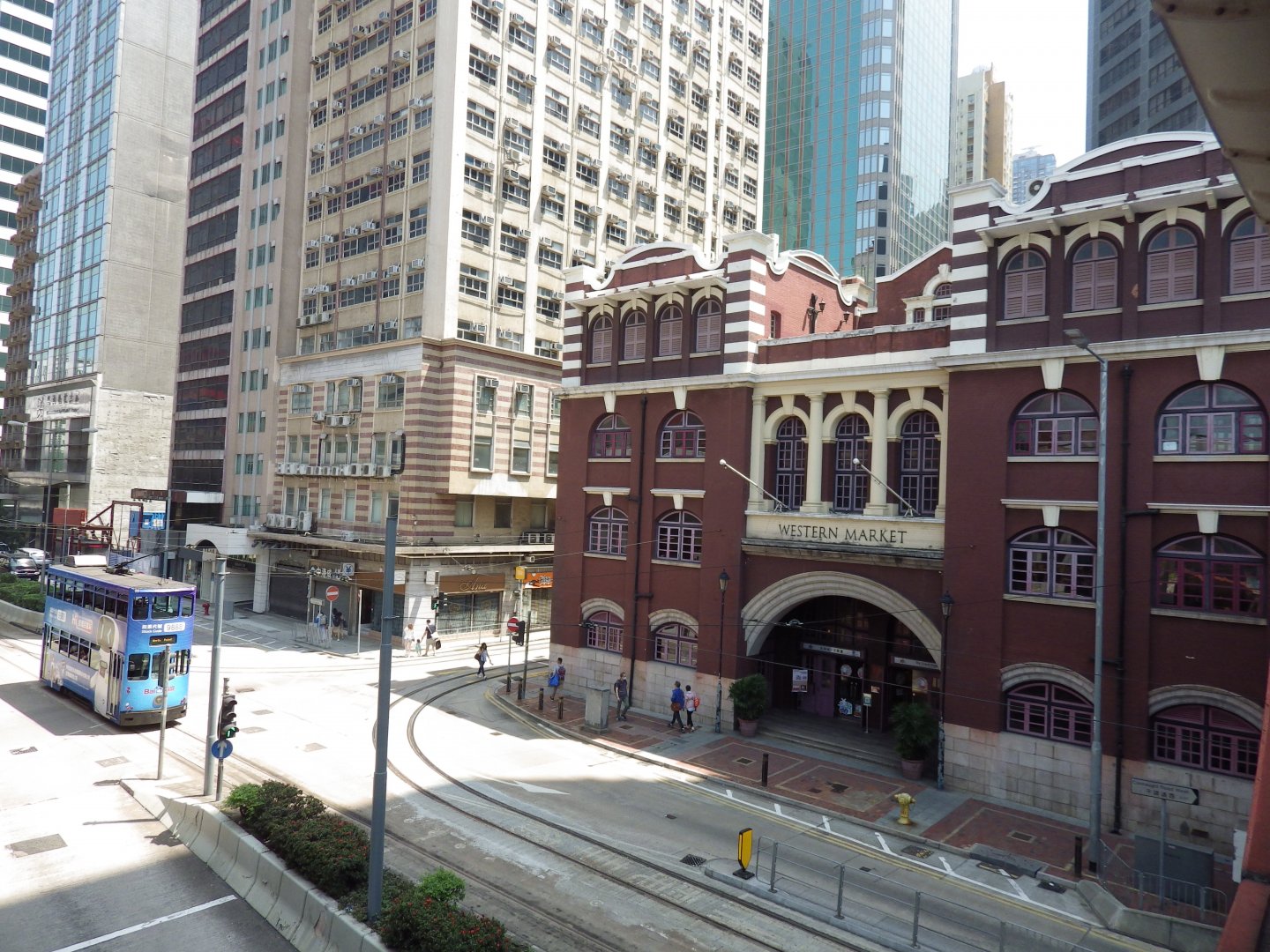
Photo Credit: Stephanie Wong
The view of Possession Street and Possession Point became Hollywood Road Garden.
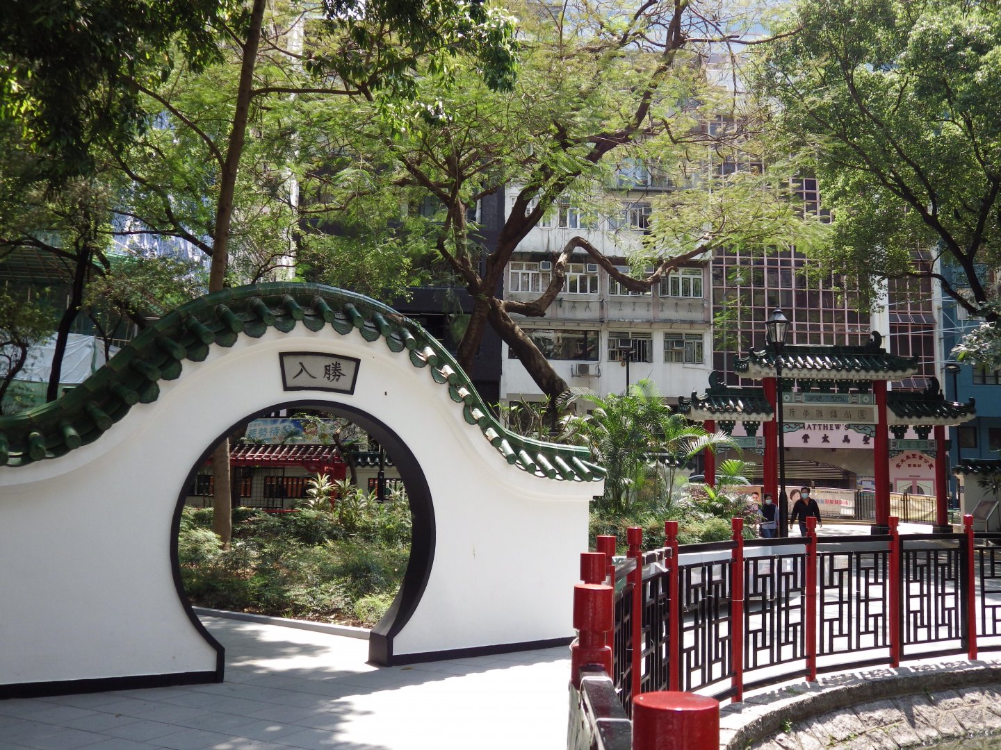
Photo Credit: Stephanie Wong
The current coastline is now next to the Hong Kong Macau Ferry Terminal.
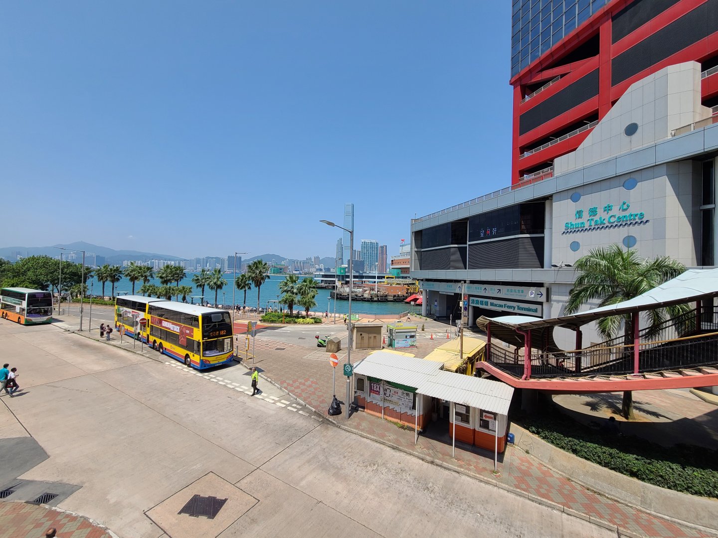
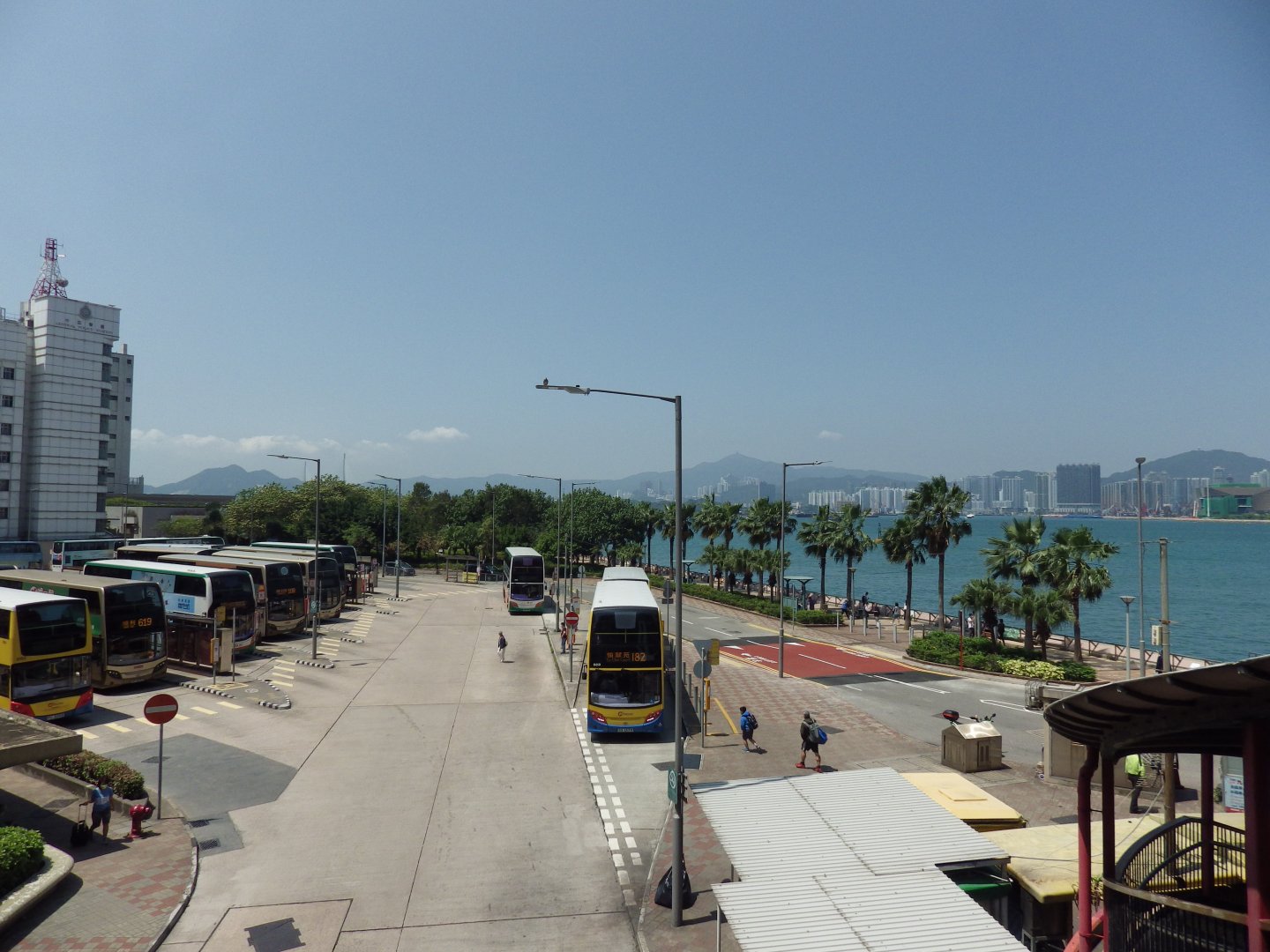
Photo Credit: Stephanie Wong
Location 4
Past: Des Voeux Road West (1870)
Present: Sun Yat Sen Memorial Park
Heading into the Western District, the following image shows Des Voeux Road West in 1955, formerly known as Praya West. This area was reclaimed under the “Bowring Reclamation Project”.
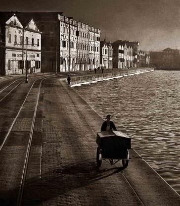
Photo Credit: Soldier, WeShare
“Hill Road”, Tram Stop (left) and Des Voeux Road West (right) in 2021.
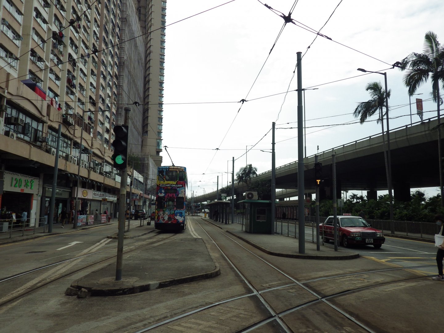
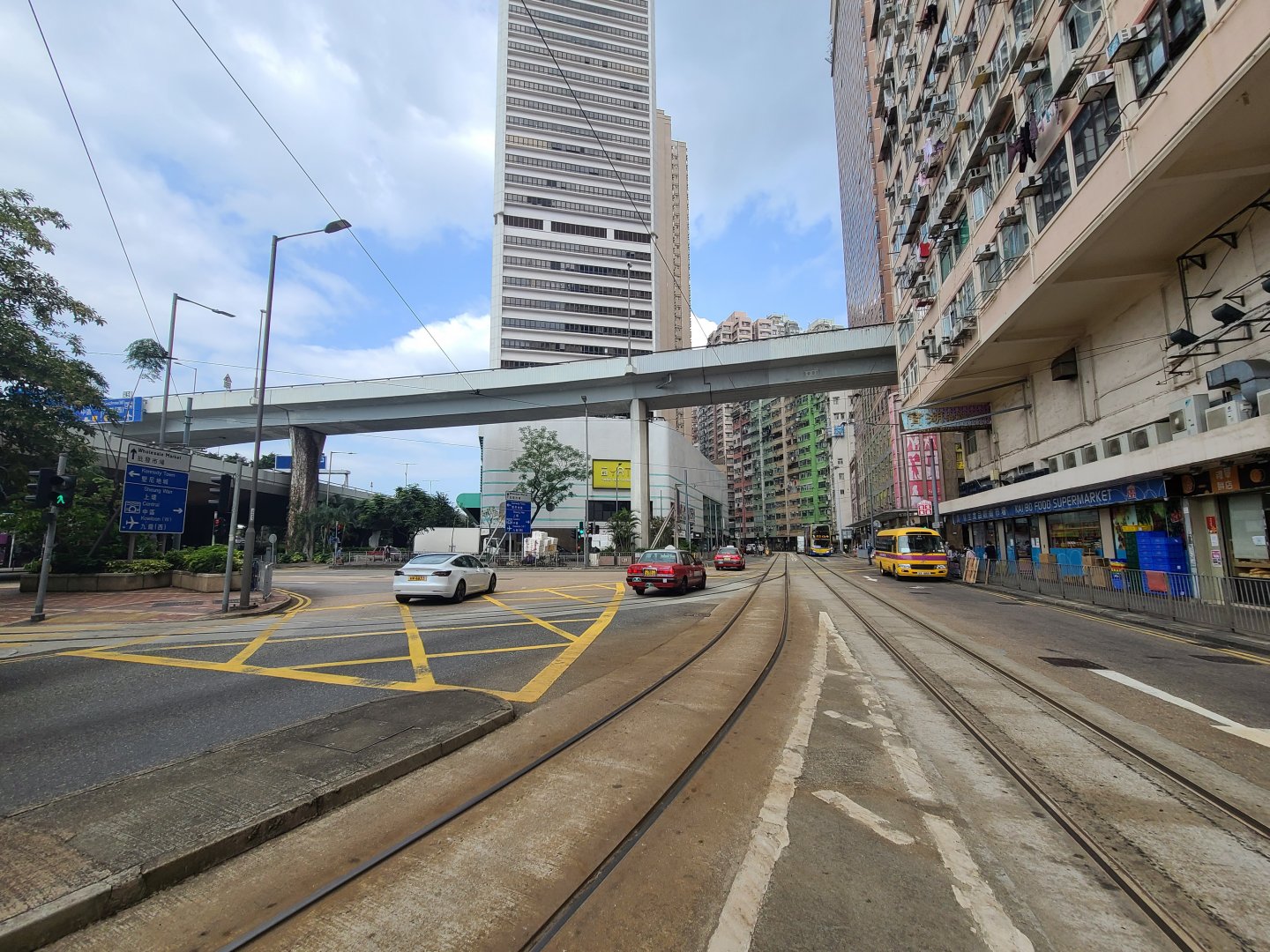
Photo Credit: Stephanie Wong
Under the Signature Project Scheme of the Central and Western District Council, the coastline extended, with the reclaimed land developed into public space. The promenade built helps to connect and extend the harbourfront from Kennedy Town up to Wan Chai.
Central & Western District Promenade in 2021:
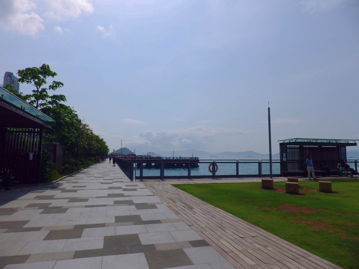
Photo Credit: Stephanie Wong
Location 5
Past: Belcher Bay and Kennedy Town Praya
Present: Belcher Bay Promenade, New Praya Kennedy Town
From its name, you may have guessed that Praya, Kennedy Town was the street next to the harbourfront in the past. At that time, the tram was next to the coastline and you could enjoy the seaview while taking the tram.
Kennedy Town Praya in 1984:
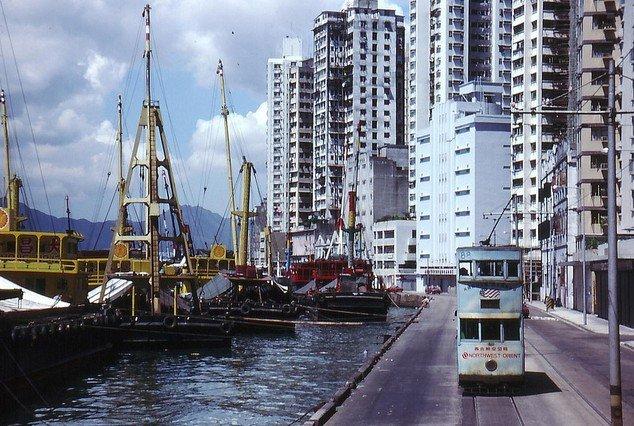
Photo Credit: 西環的黃金歲月
Praya, Kennedy Town in 2021
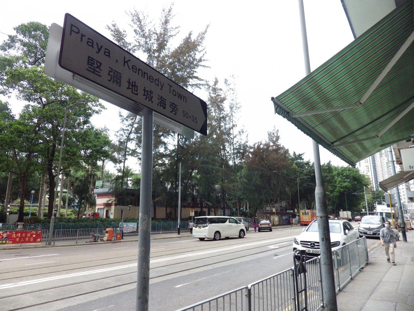
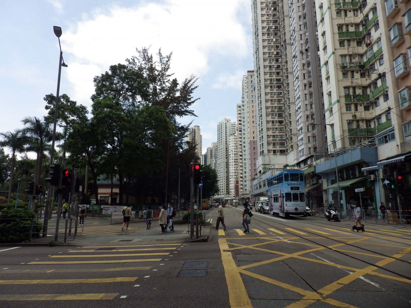
Photo Credit: Stephanie Wong
The harbour was reclaimed during the 1990s and the coastline extended to Belcher Bay Promenade. With the unblocked harbour view, these days, many people visit on weekends and holidays, enjoy food and beverage at the coffee shops and restaurants in this area and take photos along the waterfront.
New Praya, Kennedy Town in 2021
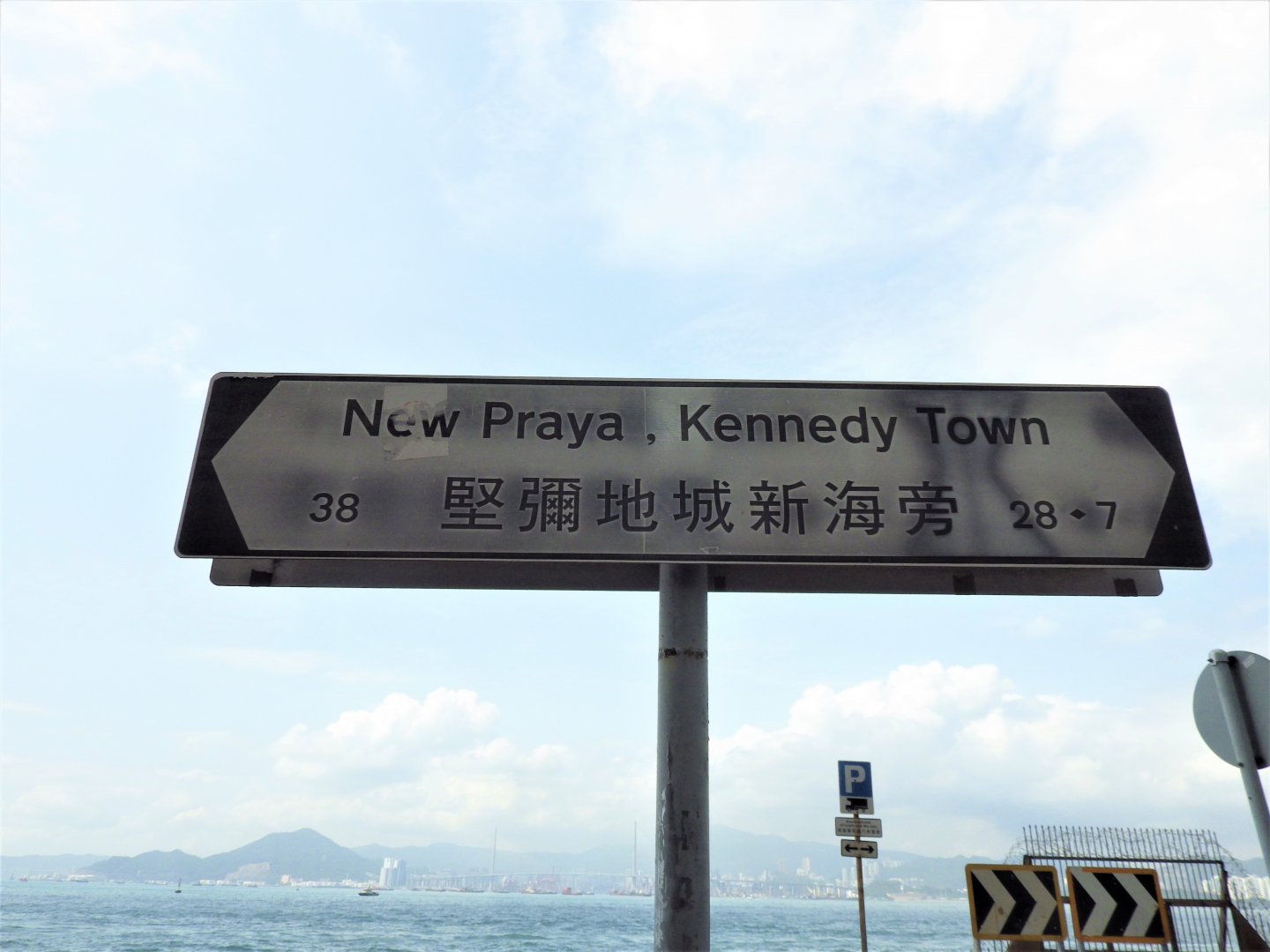
Photo Credit: Stephanie Wong
As you continue to loop anti-clockwise around Hong Kong island, you will pass Mt. Davis Coastal Walk, into the Southern District for the Aberdeen Harbour Walk.