Text: Stephanie Wong
Two months ago, we shared the first article from this two-part series. You can revisit that article here:
Changing face of the Hong Kong Island Coastline? A Photo Collection. (I)
Continue the walk with us and learn more about the history of Hong Kong Island!
Location 6
Past: Telegraph Bay, Baguio Villa (1980)
Present: Cyberport Waterfront Park
Telegraph Bay, formerly known as Tai Hau Wan (大口灣), is where several international telegraph cables were landed on Hong Kong Island to link Hong Kong to other parts of Asia, thus giving it its name. The area was reclaimed into Cyberport and not in use until 2000.
Telegraph Bay in 1962:
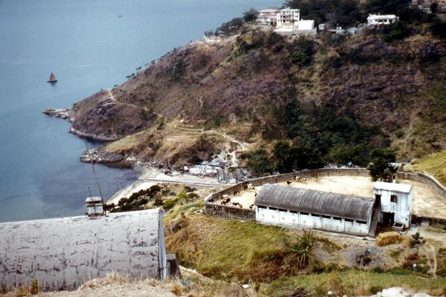
Photo credit: Peter, Gwulo
The current coastline of Telegraph Bay (Left). There are residential buildings and a waterfront park (right) managed by Cyberport where many people like to picnic, walk their dogs and play sports.
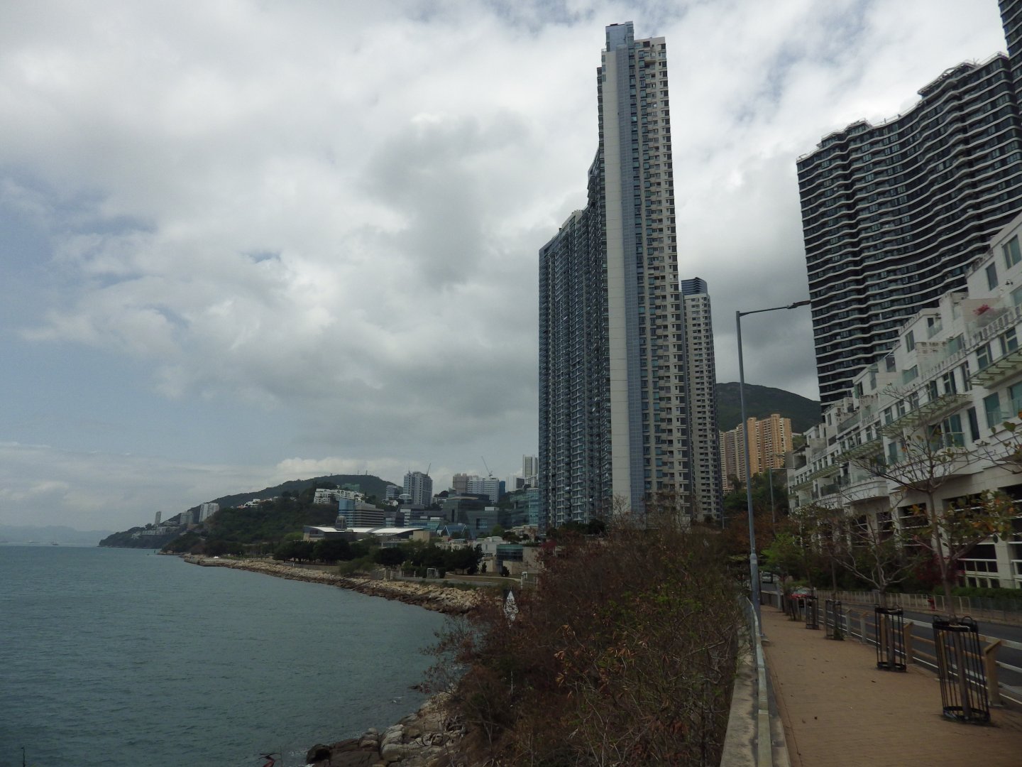
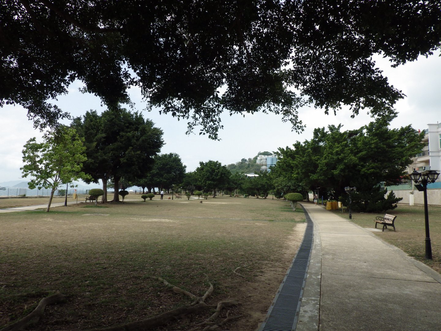
Photo Credit: Stephanie Wong
After Aberdeen and looping most of the south side of Hong Kong Island past beaches, nature and mountains head back to Eastern District and towards Causeway Bay and along the Eastern Harbour Walk.
Location 7
Past: Shau Kei Wan Road (1920)
Present: Aldrich Bay Promenade
The photo shows the construction of the MTR Hong Kong Island Line in Shau Kei Wan. It shows where the previous coastline in Shau Kei Wan was.
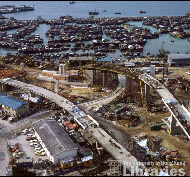
The University of Hong Kong Libraries 香港大學圖書館, Hong Kong Image Database
(https://digitalrepository.lib.hku.hk/hkimage/)
The typhoon shelter in the above photo was reclaimed, and now you’ll find Oi Tung Estate and Aldrich Garden in its place.
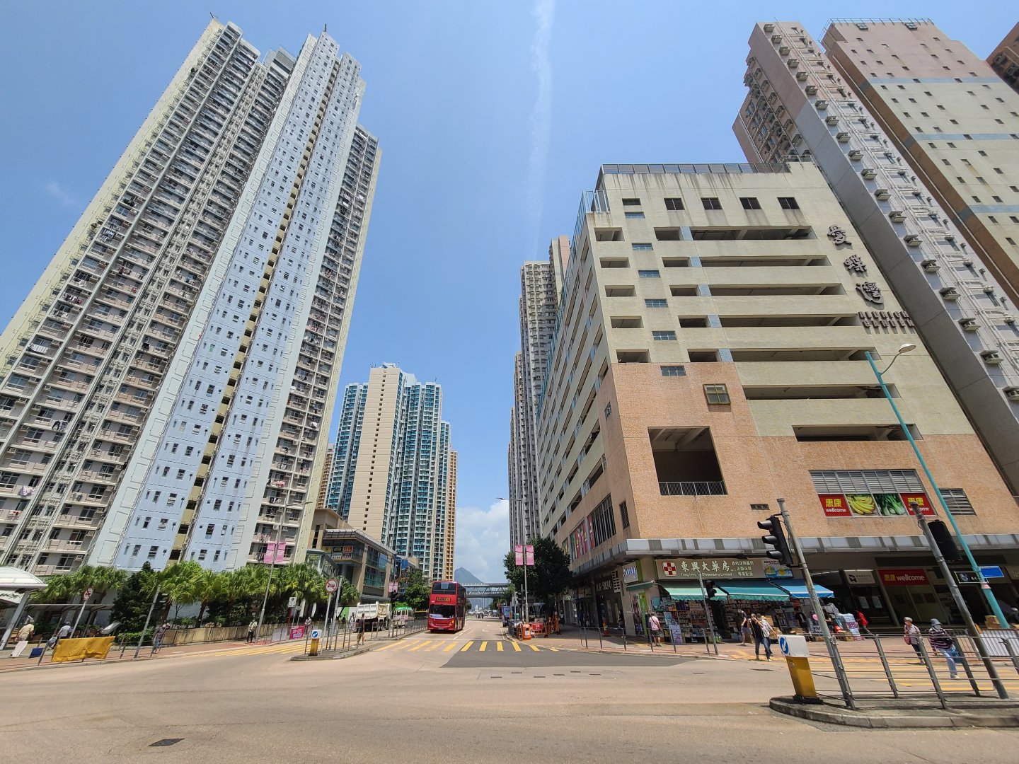
Photo Credit: Stephanie Wong
The current Shau Kei Wan Typhoon Shelter was moved outwards towards the sea, and Aldrich Bay Promenade has become a place where people run and exercise.
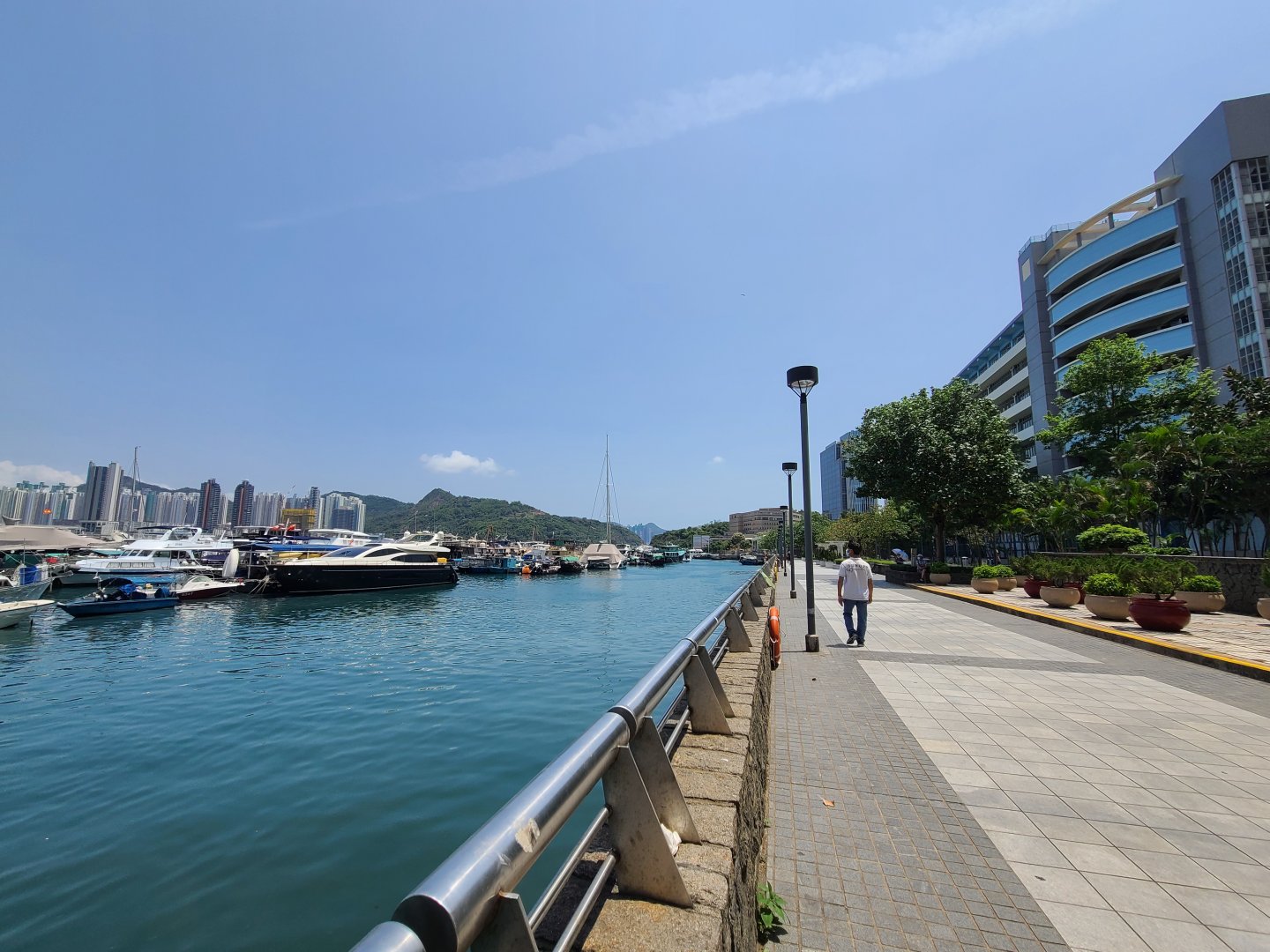
Photo Credit: Stephanie Wong
Location 8
Past: Tsat Tsz Mui Road
Present: North Point Promenade
You may not have guessed that there once was a beach in North Point. Tsat Tsz Mui was the coastline of North Point.
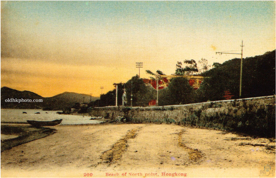
Photo Credit: oldhkphoto.com
The name Tsat Tsz Mui means “Seven Sisters” in Cantonese. Legend has it that there once were seven girls who lived in this area. They made a pact to never marry and be sisters for eternity. One day, one of the sister’s parents betrothed her. Rather than break her vow, she decided to kill herself before the wedding. When the other sisters discovered her plan, they all decided to commit suicide by jumping into the sea together by holding hands. And the next day, seven boulders that looked like the shape of women appeared.
In 1934, these seven boulders were buried under the reclamation used for urban development. A 1911 swimming shed that was built in this area was destroyed when Japanese soldiers landed at Tsat Tsz Mui.
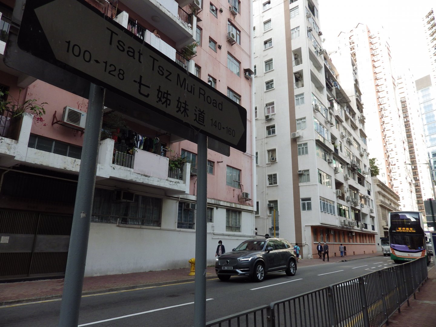
Photo Credit: Stephanie Wong
The coastline around North Point has been extended to Harbour North and, same as the harbourfront in other districts, is now a promenade with leisure facilities.
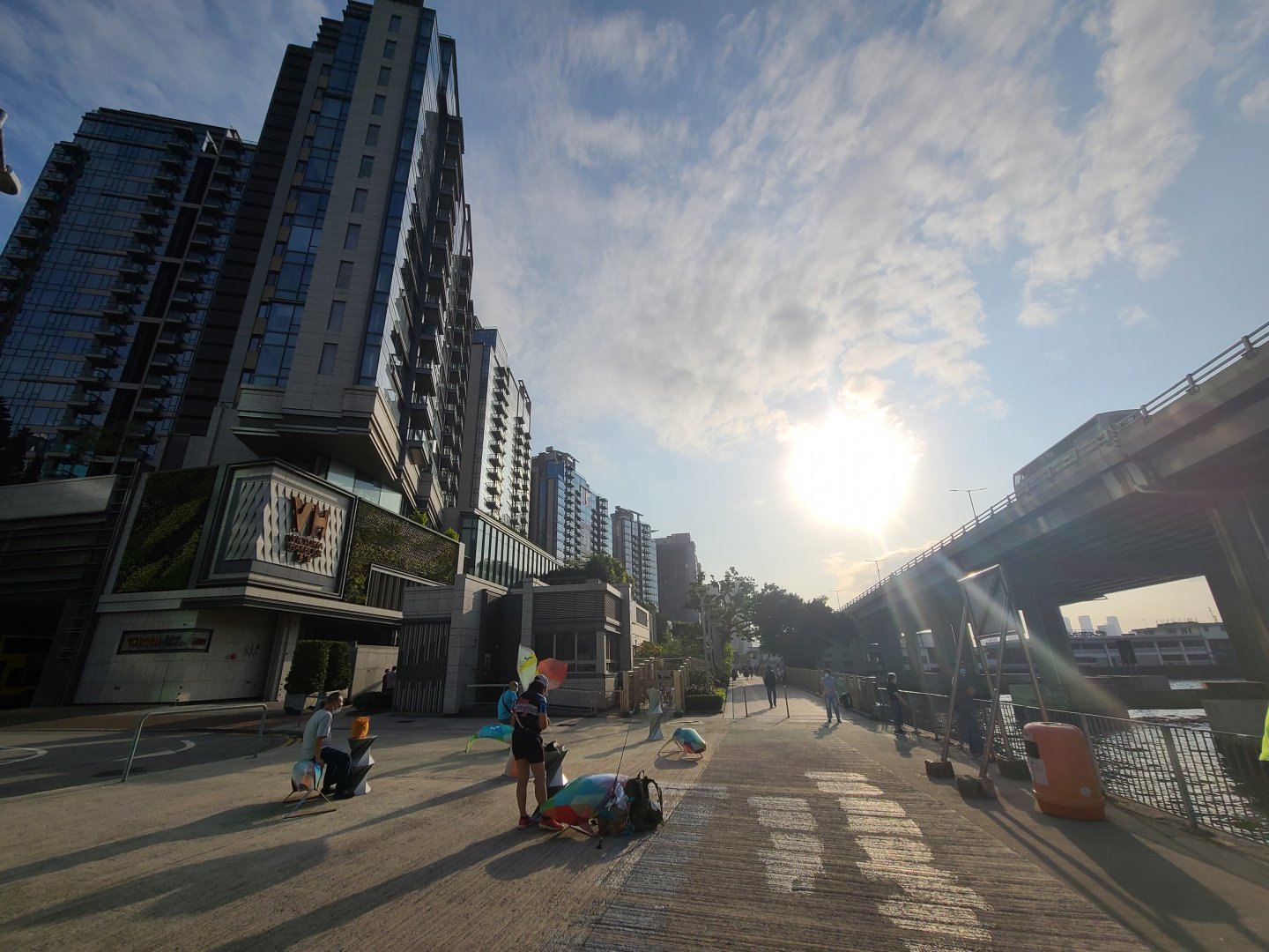
Photo Credit: Stephanie Wong
Location 9
Past: Causeway Road (1883)
Present: Victoria Harbour
Besides the Central and Western District, there were different reclamation projects that happened in Causeway Bay. The below sketch map shows the scope of the reclamation project at the Causeway Bay Typhoon Shelter in 1953.
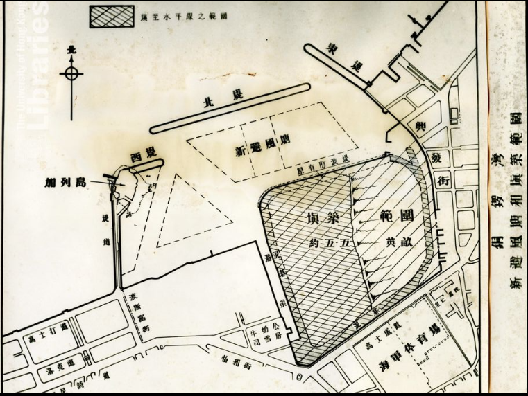
The University of Hong Kong Libraries 香港大學圖書館, Hong Kong Image Database
(https://digitalrepository.lib.hku.hk/hkimage/)
This image shows the aerial view of Gloucester Road through Causeway Bay and the road linking Causeway Road.
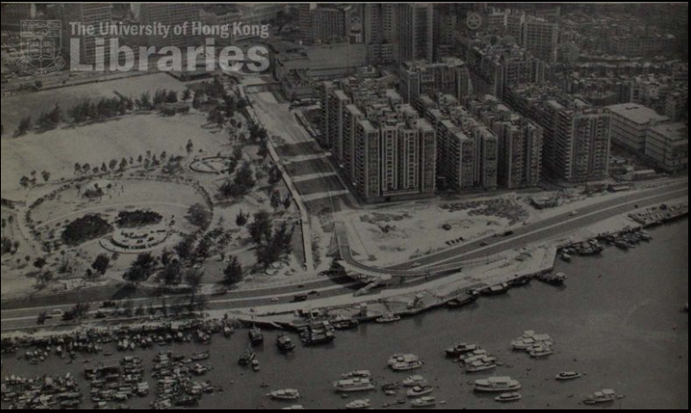
The University of Hong Kong Libraries 香港大學圖書館, Hong Kong Image Database
(https://digitalrepository.lib.hku.hk/hkimage/)
Victoria Park which was built on reclaimed land has now become a landmark public open space of Hong Kong. It not only serves as a park but also provides many sports facilities, space for local events such as festivals, and a popular resting refuge for domestic helpers on their one day off in Hong Kong. In September 2021, the area around East Coast Park Precinct opened up for people to visit.
The current coastline and Causeway Bay Typhoon Shelter in 2021.
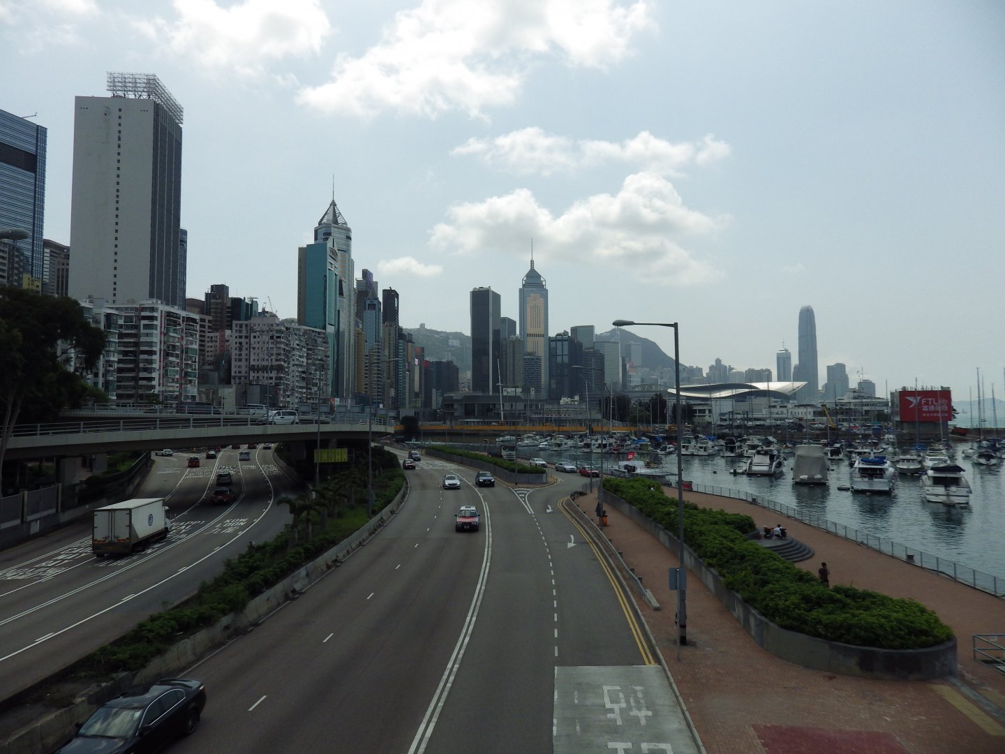
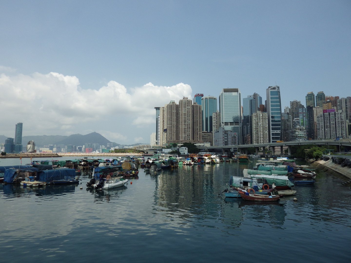
Photo Credit: Stephanie Wong
Location 10
Past: Morrison Hill and Kellett Island (1871)
Present: Royal Hong Kong Yacht Club
Morrison’s Hill is located at the seashore of Wan Chai and Causeway Bay. It was a hill, but flattened due to urban development. The below photos show the view from East Point in the late 1860s and Morrison's Hill is on the left.
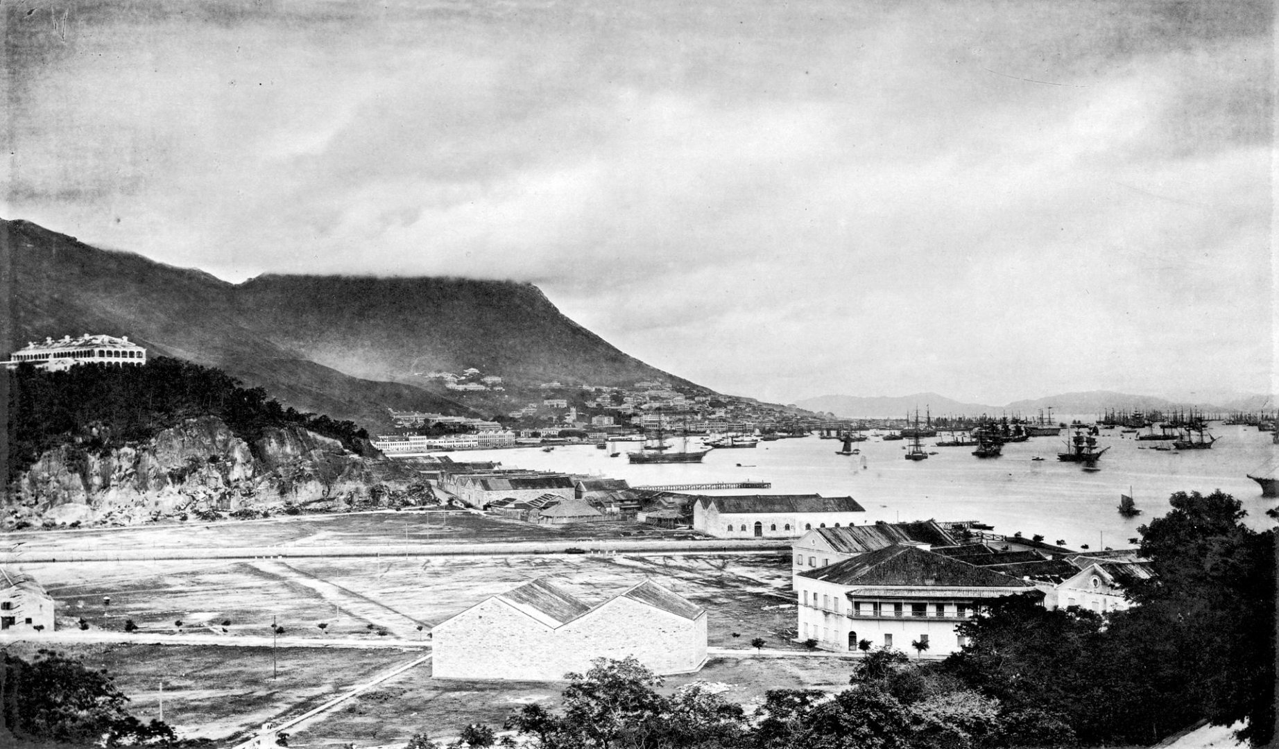
Photo Credit: By John Thomson – Beinecke Rare Book & Manuscript Library, Public Domain
Kellett Island in 1970
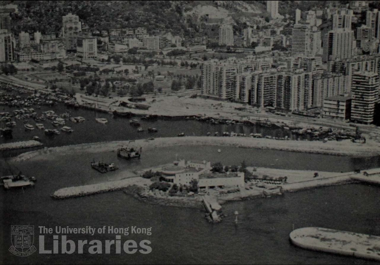
The University of Hong Kong Libraries 香港大學圖書館, Hong Kong Image Database
(https://digitalrepository.lib.hku.hk/hkimage/)
The portion of Morrison Hill that was left after it was flattened forms part of the wall at the Hennessy Road Playground.
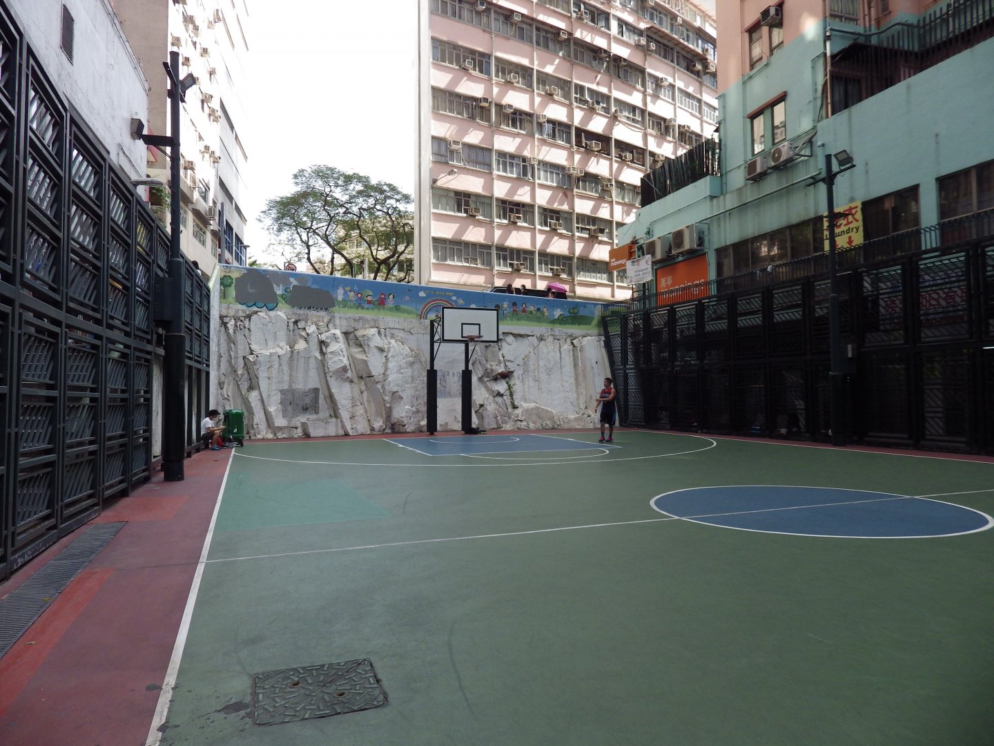
Photo Credit: Stephanie Wong
Does looking at old photos make you want to learn more about the history of Hong Kong and the stories that define us? We live in a city with a wealth of historical legacy and culture and we hope you will continue to further explore Hong Kong through walking! Don’t forget to check out our other TrailWatch routes! In support of Designing Hong Kong and Transit Jam, you can also participate in the City2Trails challenge and help us identify places of improvement along different trails.
Watch the highlights of Rediscovering and Mapping the Coastal Trail for HK Island
Download Hong Kong Coastal Trail Illustrated Map